As aerial imagery and 3D modeling technologies continue to advance, aerial 3D rendering is becoming an increasingly popular and powerful visualization tool with a wide range of applications. In this expert guide, we will provide a comprehensive overview of aerial 3D rendering, its key benefits, use cases, and best practices. First, we will explain the basics of how aerial 3D rendering works, including photogrammetry techniques used to construct 3D models from aerial images.
Next, we will explore leading software tools and workflows used by professionals in fields like architecture, construction, surveying, and more. Finally, through step-by-step tutorials, we will demonstrate how to create impressive aerial 3D animations and renderings that clients and stakeholders will appreciate. Whether you’re new to aerial visualization or looking to take your skills to the next level, this guide aims to give you the expertise needed to master aerial 3D rendering.
What is Aerial 3D Rendering?
Aerial 3D rendering is the process of creating detailed 3D models and photorealistic renderings using aerial imagery captured by drones, planes, helicopters, or satellites. It combines aerial data with 3D modeling and rendering techniques to produce highly accurate 3D visualizations of buildings, infrastructure, landscapes, and cities.

Some of the key benefits of aerial 3D rendering include:
- Enhanced visualization and understanding of sites and landscapes: The detailed 3D models allow you to visualize the area from any angle and perspective. This is useful for planning, design, and visualization purposes.
- Accurate measurements and modeling: The models are geospatially accurate down to centimeter levels allowing for precise measurements and modeling. This is useful for surveying, volumetric analysis, and BIM modeling.
- Photorealistic visualization: The rendered 3D models incorporate light, shadows, textures, and details extracted from source photography. This creates visually appealing and realistic 3D environments.
- Time and cost savings: Aerial data collection is faster and cheaper compared to traditional land-based surveying. The automated 3D modeling and rendering workflows also accelerate the process.
- Access to hard-to-reach areas: Drones and aerial imagery allow data capture even for inaccessible areas like steep hills, forests, or dangerous sites.
- Highly detailed data: The aerial data captures fine details like façade features, vegetation, assets, and terrains at high resolutions. This leads to detailed 3D models.
- Scalability: Aerial 3D rendering can be applied to small sites as well as entire cities or regions covering hundreds of square kilometers.
So, aerial 3D rendering provides a highly accurate and immersive way of visualizing and analyzing landscapes and infrastructure through detailed 3D models created from aerial data. The photorealistic 3D models and flexible viewpoints enable powerful applications across many industries and use cases.
Use Cases of Aerial 3D Rendering
Aerial 3D rendering, leveraging advancements in drone technology and sophisticated software, has opened up a plethora of applications across various industries. Here are five prominent use cases
Urban Planning and Development
Aerial 3D rendering provides urban planners and developers with detailed, bird’s-eye views of landscapes, cityscapes, and potential development sites. By capturing high-resolution images and creating accurate 3D models, stakeholders can visualize proposed infrastructure projects, assess land use, and make informed decisions regarding zoning regulations, building placement, and transportation networks. This technology enables them to anticipate how new constructions or modifications will integrate into existing environments, leading to more efficient and sustainable urban development.
Real Estate Marketing and Visualization
Aerial 3D rendering has revolutionized the way properties are marketed and showcased in the real estate industry. By capturing stunning aerial footage and creating immersive 3D models, real estate agents, and developers can offer prospective buyers or tenants virtual tours of properties from unique perspectives. These visualizations help clients gain a comprehensive understanding of a property’s layout, surrounding amenities, and neighborhood characteristics before physically visiting the site. Additionally, such renderings can be used to create compelling marketing materials for listings, enhancing their appeal and attracting more attention from potential buyers.
Environmental Monitoring and Management
Aerial 3D rendering plays a crucial role in environmental monitoring and management initiatives. Drones equipped with specialized sensors can capture data on various environmental parameters such as vegetation health, soil erosion, water quality, and habitat mapping. By processing this data into detailed 3D models and maps, environmental scientists and conservationists can analyze ecosystem dynamics, identify areas of concern, and develop targeted strategies for conservation and restoration efforts. Aerial 3D rendering also facilitates the monitoring of natural disasters, enabling timely response and mitigation measures.
Infrastructure Inspection and Maintenance
Aerial 3D rendering offers a cost-effective and efficient solution for inspecting and maintaining critical infrastructure assets such as bridges, highways, pipelines, and power lines. Drones equipped with cameras and sensors can safely navigate challenging terrain and capture high-resolution imagery of infrastructure components. By generating detailed 3D models and conducting remote inspections, engineers and maintenance teams can identify defects, assess structural integrity, and prioritize repair or maintenance activities. This approach minimizes the need for manual inspections, reduces downtime, and enhances overall asset management.
Best Practices for Aerial 3D Rendering
Aerial 3D rendering, crucial for various industries like urban planning, architecture, and environmental modeling, demands attention to detail and realism. Here are some best practices:
- Accurate Data Acquisition: The foundation of any aerial 3D rendering project lies in acquiring precise and high-resolution aerial imagery or LiDAR data. Quality data directly influences the realism and detail of the final render.
- Optimized Mesh Generation: Efficient algorithms should be employed to convert the acquired data into 3D meshes. These algorithms need to strike a balance between detail and computational resources to ensure smooth rendering without compromising on visual fidelity.
- Texture Mapping: Applying textures derived from aerial imagery onto generated meshes enhances realism. Ensuring proper alignment and resolution adjustments of textures are essential for seamless integration and realistic rendering.
- Lighting and Shadow Effects: Realistic lighting conditions, including accurate shadows cast by objects, are crucial for creating convincing aerial renders. Mimicking real-world lighting enhances depth perception and overall realism.
- Detail Enhancement: Adding fine details such as vegetation, vehicles, and human figures enriches the rendered scene, providing context and scale. Procedural generation techniques or utilizing asset libraries can efficiently populate scenes with these details.
These practices, when implemented effectively, result in immersive and informative aerial 3D renders suitable for a variety of applications ranging from urban planning to environmental modeling.
How Aerial 3D Rendering Works?
The process typically begins with data collection using drones, airplanes, or satellites equipped with advanced imaging systems such as LiDAR (Light Detection and Ranging) and photogrammetry. These tools capture high-resolution images and precise elevation data, which are then processed using specialized software.
During rendering, the collected data is transformed into a three-dimensional model, incorporating textures, colors, and realistic lighting effects to enhance visual realism. Sophisticated algorithms analyze the captured imagery to generate accurate models of terrain, structures, and vegetation. Finally, the rendered 3D model can be further refined and customized to meet specific requirements, such as urban planning, environmental analysis, or architectural visualization.
Aerial 3D rendering provides invaluable insights for various industries, including urban development, construction, environmental management, and entertainment, enabling stakeholders to make informed decisions and visualize projects with unprecedented clarity and detail.
Top Software for Aerial 3D Rendering

Aerial 3D rendering has become increasingly popular in various industries, including architecture, urban planning, real estate, and even entertainment. This technology allows professionals to create stunning visualizations of landscapes, buildings, and entire cityscapes from a bird’s eye view. To achieve these impressive results, specialized software is required. Here are some of the top software options for aerial 3D rendering:
Autodesk 3ds Max
Widely regarded as one of the industry standards for 3D modeling and rendering, Autodesk 3ds Max offers powerful tools for creating detailed aerial renderings. Its robust feature set includes advanced modeling capabilities, realistic lighting and materials, and efficient rendering engines such as Arnold and V-Ray. With 3ds Max, users can easily import terrain data, buildings, and other elements to create lifelike aerial scenes.
Trimble SketchUp
SketchUp is known for its intuitive interface and ease of use, making it a popular choice for architects, designers, and hobbyists alike. While it may not be as feature-rich as some other software options, SketchUp excels in quickly generating 3D models of buildings and landscapes. Its compatibility with various plugins and extensions allows users to enhance their aerial renderings with additional tools for terrain generation, texturing, and rendering.
Esri CityEngine
Specifically designed for urban planning and visualization, Esri CityEngine is a powerful software solution for generating detailed 3D city models from GIS data. It offers sophisticated tools for procedural modeling, allowing users to create entire cities with realistic buildings, roads, and vegetation. CityEngine’s integration with GIS data sources enables users to incorporate real-world terrain and infrastructure data into their aerial renderings with ease.
These software options represent some of the top choices for professionals seeking to create stunning aerial 3D renderings for a wide range of applications. Whether you’re an architect designing a new development, an urban planner visualizing cityscapes, or a filmmaker crafting breathtaking aerial scenes, these tools provide the capabilities and flexibility needed to bring your vision to life.
Conclusion
Aerial 3D rendering is an innovative technology that is transforming many industries today. As we have explored in this guide, aerial 3D rendering provides a powerful way to capture highly detailed 3D models of real-world environments from an aerial perspective. The applications of this technology are vast, from urban planning and infrastructure design to disaster response simulations and cultural heritage preservation.
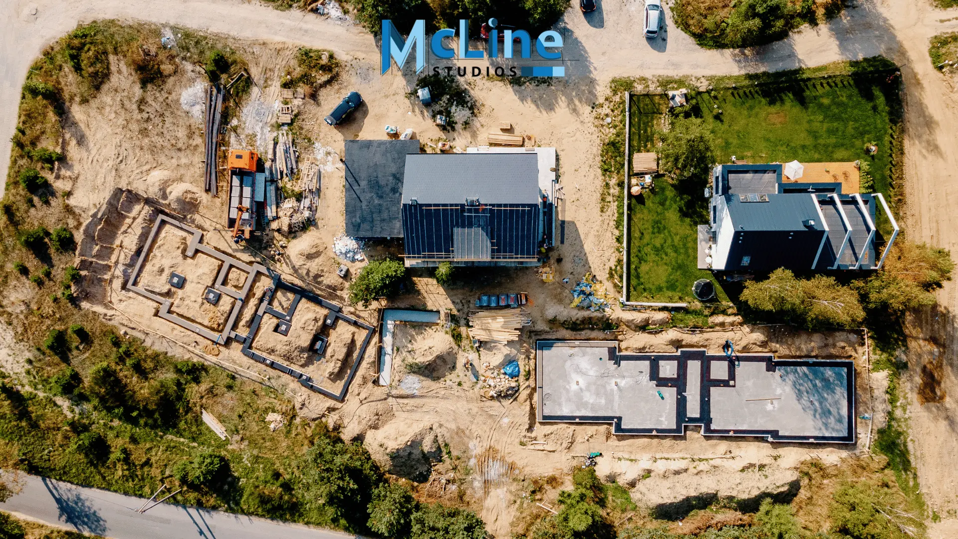
However, realizing its full potential requires an experienced 3D rendering service provider like McLine Studios. With over a decade of expertise in photorealistic 3D visualization and rendering, McLine Studios delivers stunningly accurate 3D models and visualizations tailored to your unique aerial projects. Whether you need digital twins of cityscapes, 3D maps, or engaging visual content, trust McLine Studios’ team of 3D artists, drone pilots, and geospatial experts to bring your aerial 3D rendering vision to life. Contact McLine Studios today to unlock the future of your industry with customized aerial 3D rendering capabilities and solutions.