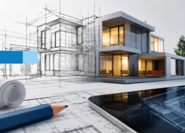
Over the past few weeks, I’ve been learning about the process of converting laser scans into 3D Revit models. I watched tutorials, read many articles, and had some solid discussions with our team to understand how professionals actually get this done in the real world.
There’s a lot of information out there, but most of it is scattered. So, I decided to pull everything together into one clear guide. If you’ve ever wondered how to go from a raw laser scan to a fully built Revit model, this article is for you.
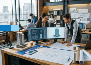
We’ll walk through each step of the process from importing the point cloud and setting up levels to refining walls, placing families, and adding structural details. Whether you’re exploring this workflow for the first time or just looking to sharpen your process, I’ve laid it out in a way that’s straightforward and actionable.
Let’s get into it.

Step 1: Capturing and Preparing Laser Scan Data
Before anything can happen in Revit, it all starts on-site with the laser scan. Depending on the project scope, you might use a terrestrial laser scanner or a structured-light scanner. Both options capture millions of data points that represent the surfaces of the space: walls, floors, ceilings, openings, and everything in between.
In our case, we explored how Matterport (a structured-light scanner) and terrestrial scanners both work, and found that the right choice often comes down to project size and required detail. Matterport gets the job done well for interior renovations or smaller builds. A terrestrial scanner gives you more control and accuracy for complex structures or higher precision.
Once the scan is complete, the next step is processing the raw data. This is where Autodesk ReCap comes in. It lets you clean, align, and export the scan data into a format Revit can handle, typically as an RCP or RCS file. You can also switch between different views, like floor plans, elevations, and 3D renderings, to check that the scan captured all the critical angles and areas.
During our testing, we spent a good amount of time in ReCap adjusting viewpoints and confirming that the point cloud was properly aligned. Trust me, a clean and well-prepared point cloud makes everything smoother once you move into Revit models.
Step 2: Importing Point Cloud Data into Revit
With the point cloud ready, the next move is to bring it into Revit. This is done using the “Insert” tab in Revit, where you can select “Link Point Cloud.” From there, you just locate the RCP or RCS file and load it into the project.

During this step, you’ll need to set a few important options, like insertion point, units, and orientation. Getting these right from the beginning helps everything line up with your project base and coordinate system.
Once the scan is linked, you’ll see a cloud of points appear in your model space. It’s not a mesh or surface; it’s raw scan data, but it serves as the visual reference for everything you’re about to model.
Step 3: Navigating and Creating Viewpoints
After importing the point cloud, the first thing we did was set up views to make navigation easier. Creating 3D views, floor plans, and sectional views helps break down the data into manageable pieces.
Using tools like the Section Box in 3D view lets you isolate parts of the model for closer inspection. This is especially useful when you’re working with detailed interior spaces or areas with overlapping elements.
Having multiple views open side by side really helps in understanding how things connect spatially, something that’s tough to do when you’re only working off one view at a time.
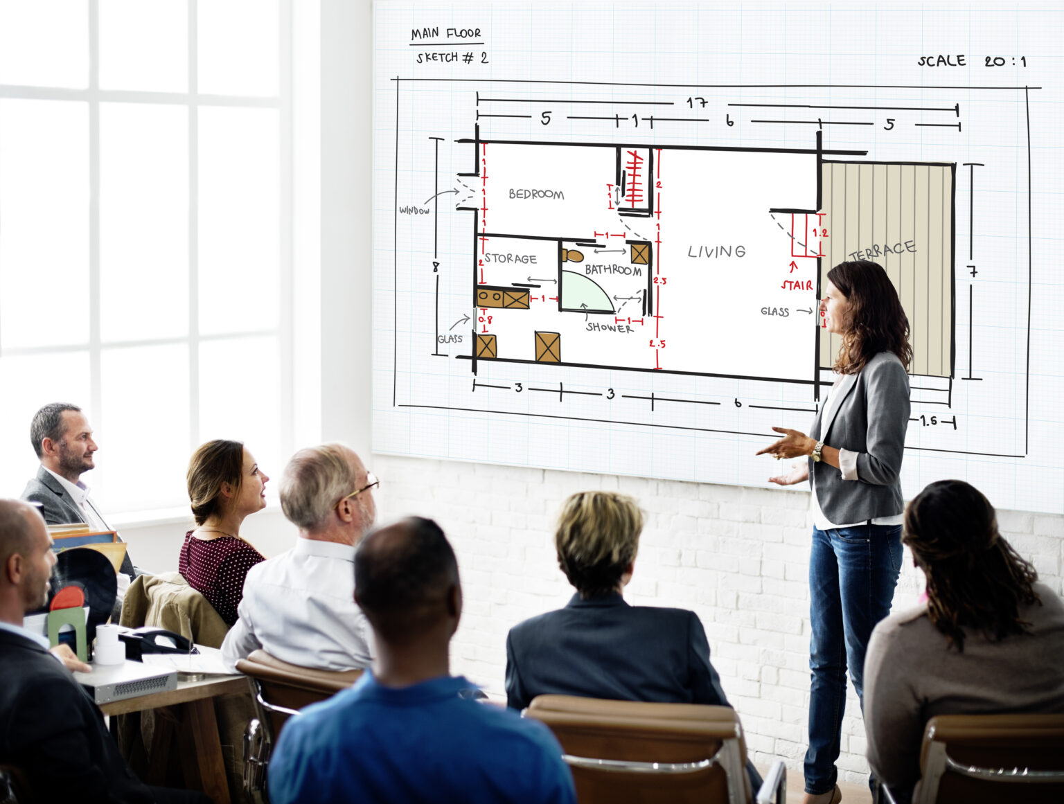
Step 4: Defining Levels and Grids
Before modeling anything, it’s important to set up your levels. In our workflow, we created new levels for each key floor, like the Garage Floor and Garage Floor 2, to match the actual structure captured in the scan.
You can do this in an elevation view using the Level tool. Just draw horizontal lines where the floors exist in the scan. After setting levels, I adjusted the View Range so that only relevant scan data appeared in each plan view.
If your project involves precise alignments, adding grids can also help you organize the model and keep everything consistent.
Step 5: Modeling Architectural Elements
Now comes the actual modeling. Starting with the walls, I used the scan as a reference to trace the outline of the structure. This is where it gets a bit hands-on. You select the wall tool, pick the correct type (e.g., generic or specific material), and then trace along the scan lines.
We noticed that some walls had varying thicknesses. So, we used wall-type properties to tweak the dimensions and match the scanned structure as closely as possible. It’s not always a one-click fix, and a bit of trial and error is normal here.
After that, I added internal walls to segment rooms and spaces, constantly cross-checking with the point cloud in both 2D and 3D views.
Step 6: Creating Floors, Joining Walls, and Building Boundaries
With walls in place, the next step was to define floor boundaries. In Revit, this is done using Modify > Create Floor Boundary, where you draw the perimeter that outlines the floor slab.
To keep everything clean, we also used Modify > Join Geometry to merge wall segments that should be connected. This improves the model’s integrity and prevents weird gaps or overlaps later on.

Paying close attention during this phase helps avoid issues down the road when you’re adding families or creating sections.
Step 7: Placing Doors and Windows
Once the shell was ready, I moved on to placing doors and windows. This step uses Revit’s family system, where you can choose predefined types or load custom families that match your actual design.
We pulled in door families, adjusted dimensions like height and width, and placed them directly over the scan data. Some placements required minor tweaks, especially when the scan wasn’t perfectly symmetrical, but Revit models give you enough control to nudge things into place.
For each element, I double-checked placement in the 3D view to confirm it aligned with the scan visually.
Step 8: Refining Details and Making Iterative Adjustments
This stage is all about fine-tuning. You’ll almost always spot slight mismatches between your model and the scan, especially around openings or irregular features.
In our case, we had to adjust a few garage doors and windows after reviewing them from multiple views. That meant shifting their position slightly or tweaking dimensions to better match the point cloud.
It’s a bit of back and forth, but it’s worth it. The more accurate your placements, the more reliable your model will be for construction or documentation.
Step 9: Adding Structural Elements and Railing Systems
Toward the end of the modeling process, we added structural columns and railings where needed. These elements are often overlooked but are crucial for a complete model.

Placing a railing, for example, just involves sketching a path along an edge like a balcony or a stair. You can choose railing types and tweak their properties to fit the scan. Similarly, columns can be placed using structural families and aligned with the cloud.
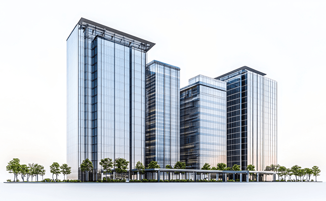
This is also where the model starts feeling “real” because you’re now adding components that define the building’s structure, not just its layout.
Step 10: Reviewing the Model with Reflective Surfaces and Textures
As a final pass, I experimented with reflective materials and textures to get a better sense of depth and surface in the model. While this is more about visualization than modeling, it helps identify missing elements or misalignments.
If you’re using tools like Matterport Showcase Viewer, you can also walk through the space in a rendered view and compare it directly with your Revit models.
This step isn’t required, but it’s helpful, especially when presenting the model to clients or collaborators who prefer a visual walkthrough.
The Closing Statement
In conclusion, creating accurate 3D Revit models from laser scan data involves a structured and detail-oriented workflow. From capturing high-resolution scans and preparing them in Autodesk ReCap to modeling architectural elements and refining spatial details in Revit, each step plays a crucial role in translating real-world conditions into a digital environment.

This process offers significant advantages, precise measurements, improved coordination, and a clearer understanding of existing conditions. It also enables architects, engineers, and construction professionals to make informed decisions early in the design process, minimizing errors and reducing rework during construction.
With the increasing adoption of laser scanning technologies in the AEC industry, mastering the scan-to-Revit workflow is becoming a valuable skill. By following a methodical approach and using tools like ReCap, Revit, and Matterport, professionals can create highly accurate models that serve as reliable foundations for design, analysis, and documentation.