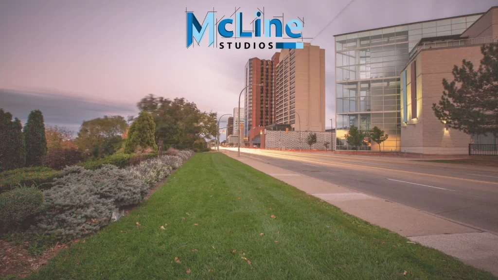
In the world of computer graphics and visual effects, streetscape rendering has emerged as a powerful technique to bring realistic urban environments to life. The process of streetscape rendering involves the creation of highly detailed and immersive 3D visualizations of cityscapes, including buildings, roads, vehicles, and all the intricate elements that make up a modern cityscape.
Streetscape rendering finds applications in various industries, including architecture, urban planning, gaming, and film production. By using advanced rendering algorithms and cutting-edge software, artists and designers can accurately depict the look and feel of a city, complete with intricate textures, lighting, and atmospheric effects.
The process begins with the creation of detailed 3D models of buildings, streets, and other urban elements. These models are then meticulously textured and lit, taking into account factors such as materials, surface properties, and environmental conditions. Rendering engines then calculate the way light interacts with these elements, creating stunning visuals that capture the essence of a real-world streetscape.
Whether it’s for visualizing proposed urban developments, creating virtual tours, or bringing fictional cities to life in movies and games, streetscape rendering has become an indispensable tool for artists, architects, and designers alike. Let’s explore streetscape rendering in detail.
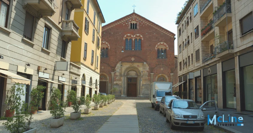
What Is Streetscape Rendering?
Streetscape rendering is a visual representation or artistic depiction of a street or urban area, typically created through digital illustration or traditional artistic techniques. It aims to capture the essence and character of a street or neighborhood by showcasing various elements such as buildings, sidewalks, streets, landscaping, street furniture, and people.
These renderings are often used by urban planners, architects, developers, and local governments to communicate design proposals, urban renewal projects, or future developments to stakeholders, investors, and the public.
They provide a realistic preview of how a proposed streetscape will look and feel once implemented, helping stakeholders visualize the potential impact on the surrounding environment and community.
Streetscape renderings play a crucial role in the decision-making process, allowing stakeholders to assess design aesthetics, functionality, and compatibility with the existing urban fabric. They also serve as powerful marketing tools for developers, helping them attract investors, tenants, and buyers by showcasing the envisioned transformation of a neighborhood or street into a vibrant and attractive space.
How Streetscape Rendering Works?
Streetscape rendering involves the creation of realistic visualizations of streetscapes, depicting how a particular street or urban area will look after proposed changes or developments have been implemented.
These renderings are essential tools for communicating design ideas, assessing the visual impact of proposed changes, and garnering support from stakeholders and the public. Here’s an overview of how streetscape rendering works, including the steps involved in creating them:
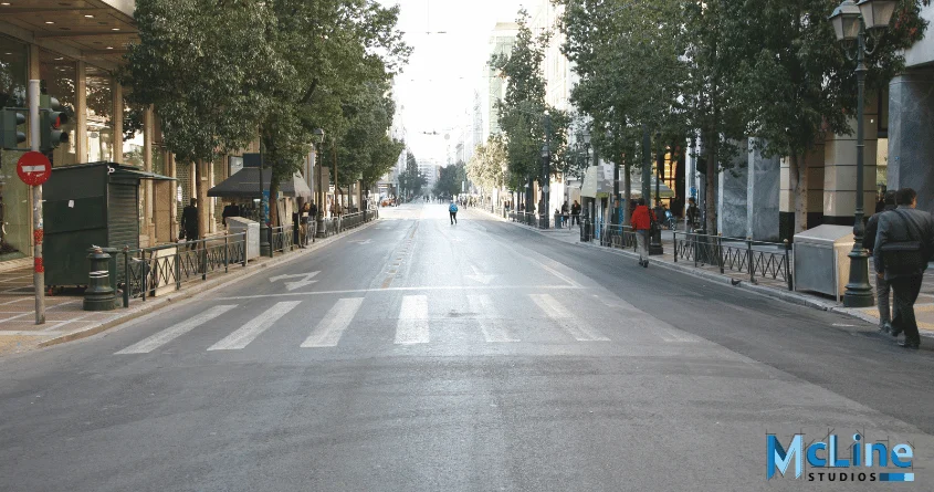
Gathering Information and Initial Concepts
The process typically begins with gathering information about the site, including existing conditions, surrounding buildings, infrastructure, and any proposed changes or developments. Designers work closely with urban planners, architects, and clients to understand project goals, constraints, and desired outcomes. Initial concepts and sketches may be developed based on this information.
Digital Modeling
Using specialized software such as AutoCAD, 3Ds Max, SketchUp, or Revit, designers create a digital 3D model of the streetscape. This model serves as the foundation for the rendering and includes accurate representations of buildings, streets, sidewalks, landscaping, and other elements within the area of focus.
Texturing and Detailing
Once the basic 3D model is established, textures and details are added to enhance realism. This includes applying materials such as brick, concrete, glass, and foliage to buildings and surfaces. Fine details such as signage, street furniture, lighting fixtures, and vehicles are also incorporated to bring the scene to life.
Lighting and Atmosphere
Lighting plays an important role in creating a realistic streetscape rendering. Designers simulate different lighting conditions, including natural daylight, artificial lighting from street lamps and buildings, and environmental effects such as shadows and reflections. Attention is also given to the overall atmosphere of the scene, including weather conditions like rain, fog, or sunshine, to evoke the desired mood and ambiance.
Adding Human Scale
Human figures are often included in the rendering. This helps to convey a sense of proportion and scale. These figures help viewers visualize how people will interact with the space and provide a sense of perspective. Figures may be positioned walking along sidewalks, sitting at outdoor cafes, or engaging in other activities relevant to the context of the streetscape.
Rendering Process
Once the 3D model is fully textured and detailed, then the rendering process begins. This involves generating high-quality images or animations from the digital model using rendering software such as V-Ray, Lumion, or Blender. Rendering settings are adjusted to achieve the desired level of realism, including factors such as resolution, image quality, and rendering time.
Post-Processing and Enhancement
After the initial rendering is complete, post-processing techniques may be applied to further enhance the visual impact of the image. This can include adjustments to color balance, contrast, saturation, and other parameters to optimize the final result. Additional effects such as depth of field, motion blur, and lens flares may also be added to enhance realism and visual appeal.
Once the rendering is finalized, it is presented to stakeholders, and clients for feedback and review. Renderings may be used in presentations, marketing materials, public consultations, and regulatory approvals processes to communicate design intent and solicit input from various parties involved in the project.
The Final Note
To sum it up, streetscape rendering has emerged as a powerful tool for architects, urban planners, and developers to visualize and communicate their design ideas effectively. The detailed and realistic 3D models of urban environments. Streetscape rendering allows stakeholders to experience a proposed development or urban renewal project as if they were physically present in the space.
This technology has revolutionized the way we approach urban design and planning, enabling more informed decision-making and facilitating greater public engagement. As rendering techniques continue to evolve, we can expect even more immersive and interactive streetscape visualizations that accurately capture the nuances of light, texture, and atmosphere.
Moreover, streetscape rendering extends beyond its practical applications in architecture and urban planning. It has also found a place in entertainment and education, where virtual cityscapes are used in video games, movies, and virtual reality experiences to create engaging and realistic environments.

